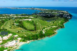
"Is Bermuda 21 Miles or 21 Square Miles?"
A Taxi Ride into Bermuda's Geography
A Ride Through Bermuda’s Mysteries
A couple on their first visit to Bermuda climbs into a taxi, greeted by a cheerful driver ready to share the island’s unique history. As the taxi meanders through the colorful streets of Hamilton, the couple’s curiosity is piqued. They ask, “How big is Bermuda? Is it 21 miles, or is it 21 square miles?” The driver chuckles knowingly. “Ah, you’ve just stumbled on one of Bermuda’s quirks!”
Through this ride, the driver shares anecdotes, history, and facts, unraveling the mysteries behind Bermuda’s size and how different measurements have told its story over centuries.
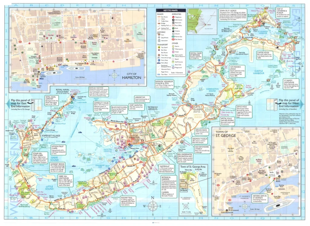
The driver begins: “Well, Bermuda isn’t 21 miles long. The total landmass of Bermuda is about 20.5 square miles, but that’s an area measurement. From one end to the other, the island is around 40 Kilometers or 24 miles long from the Royal Navy Dockyard, Sandys to Gates Fort, Cut Road, St Georges—if you count the main roads weaving through all the parishes. Straight as the crow flies? It’s about 23 Kilometers or 14.8 Miles From Wale Bay Port Royal, Southampton to Fort St Catherin, Barry Road St Georges. So, technically, it’s both right and wrong to call Bermuda ’21 miles.’”
- Length: Approximately 24 miles along the main road.
- Length: As straight as the crow flies 14.8 miles
- Area: 20.5 square miles (standard measurement).
But that’s not the end of the story. “Here in Bermuda, we have something called the Bermuda Mile, which is longer than the standard mile used elsewhere. That can make things even more confusing!”
The driver explains: “A mile is how far you can walk or drive in one direction—it’s a length. A square mile measures an area. Think of a square that’s one mile on each side; the space inside it is one square mile.”
He chuckles as he adds, “If you walked a square mile’s perimeter, you’d actually cover four miles!”
Conversions:
- 1 mile = 5,280 feet.
- 1 square mile = 640 acres = 27,878,400 square feet.
Bermuda’s land area, 20.5 square miles, is like squeezing over 20 of those squares onto the map. That’s where things get quirky—different eras and measurements have told Bermuda’s story in their own ways.
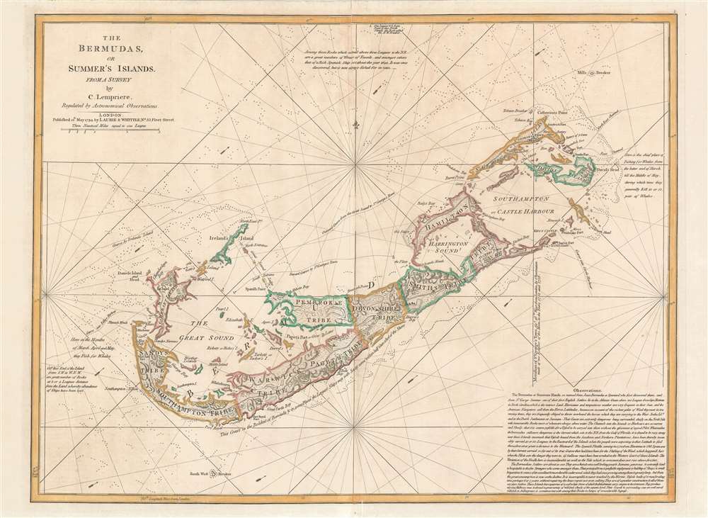
“Now, let’s talk about the Bermuda Mile, a term rooted in maritime history. It’s a bit longer than the standard mile you know—6,080 feet instead of 5,280. It’s even longer than the nautical mile, which sailors use, measured at 6,076.1 feet.
This unique mile influenced what we call a Bermuda Square Mile, which measures 36,966,400 square feet—larger than the standard square mile. Some old charts might show Bermuda’s size in Bermuda Square Miles instead of regular ones, which can confuse visitors.”
The couple leans forward, intrigued. “How is Bermuda split up?” they ask. The driver pulls up to a scenic overlook and points.
“Bermuda is divided into nine parishes—almost like boroughs. Each one has its own vibe, history, and quirks. Let me break it down for you:”
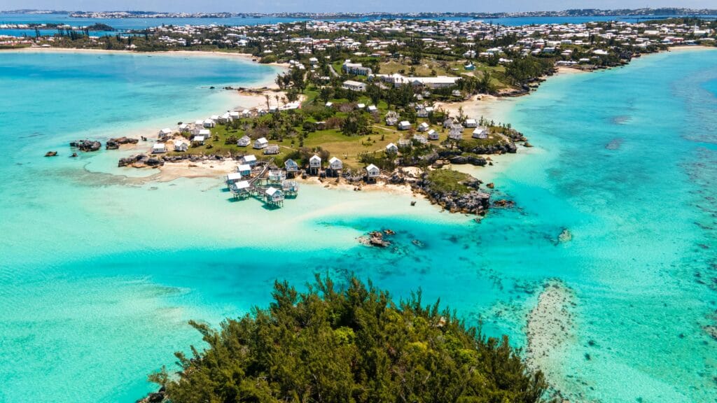
- Sandys Parish – 2.3 square miles – Known for Dockyard and pink-sand beaches.
- Southampton Parish – 2.3 square miles – Famous for Horseshoe Bay Beach.
- Warwick Parish – 2.3 square miles – A mix of beaches and scenic trails.
- Paget Parish – 2.3 square miles – Home to botanical gardens and lush landscapes.
- Pembroke Parish – 2.3 square miles – Includes Hamilton, the capital city.
6. Devonshire Parish – 2.3 square miles – More residential, with tranquil charm.
- Smith’s Parish – 2.3 square miles – Known for Spittal Pond Nature Reserve.
- Hamilton Parish – 2.3 square miles – Home to Crystal Caves and the Aquarium.
- St. George’s Parish – 2.5 square miles – The oldest parish is St George, which is rich in history and has been recognized as a UNESCO heritage site since 2000.
“Over the years,” the driver adds, “land use has changed, but the size of the parishes has remained consistent.”
The couple asks, “How far is Bermuda from the nearest land?” The driver nods knowingly.
“Bermuda is about 650 nautical miles east of Cape Hatteras, North Carolina. That’s roughly 750 statute miles. It’s 3,125 miles from St Ives Cornwall, England, 935 miles from the Bahamas and surrounding Caribbean islands, which surprises some visitors who expect Bermuda to be part of the Caribbean.”
The driver dives into some fascinating stories: “Did you know that Mark Twain visited Bermuda several times? He joked about its size, saying, ‘You can cover the whole island in a day, but you’ll want to take a lifetime to appreciate it.’ Even sailors like Sir George Somers, who founded Bermuda, marveled at how the island seemed much larger when viewed from the sea.
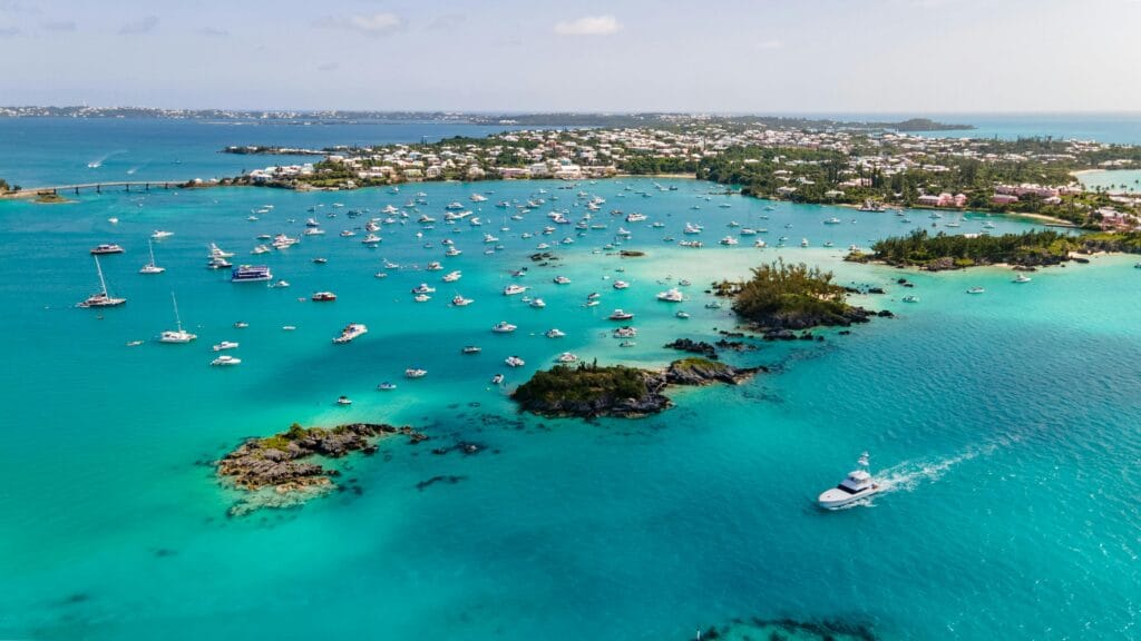
During WWII, Bermuda became a vital navigation point. Pilots measured distances in nautical miles, while locals stuck to Bermuda Miles when guiding visitors around the island.”
The driver offers practical advice as the taxi nears the couple’s destination:
- Renting a Scooter or Electric Car? The longest drive you’ll take is around 22 miles end-to-end.
- Public Transport: Buses and ferries connect the parishes efficiently.
- Walking Trails: The Railway Trail spans over 18 miles, offering stunning views and historical sites.
- Maps and GPS: Be mindful of Bermuda-specific distances when using apps—they may default to standard miles.
As the couple steps out of the taxi, they’re amazed at how much they’ve learned during the short ride. Bermuda might be small in size—whether measured in miles or square miles—but it’s rich in history, quirks, and charm.


